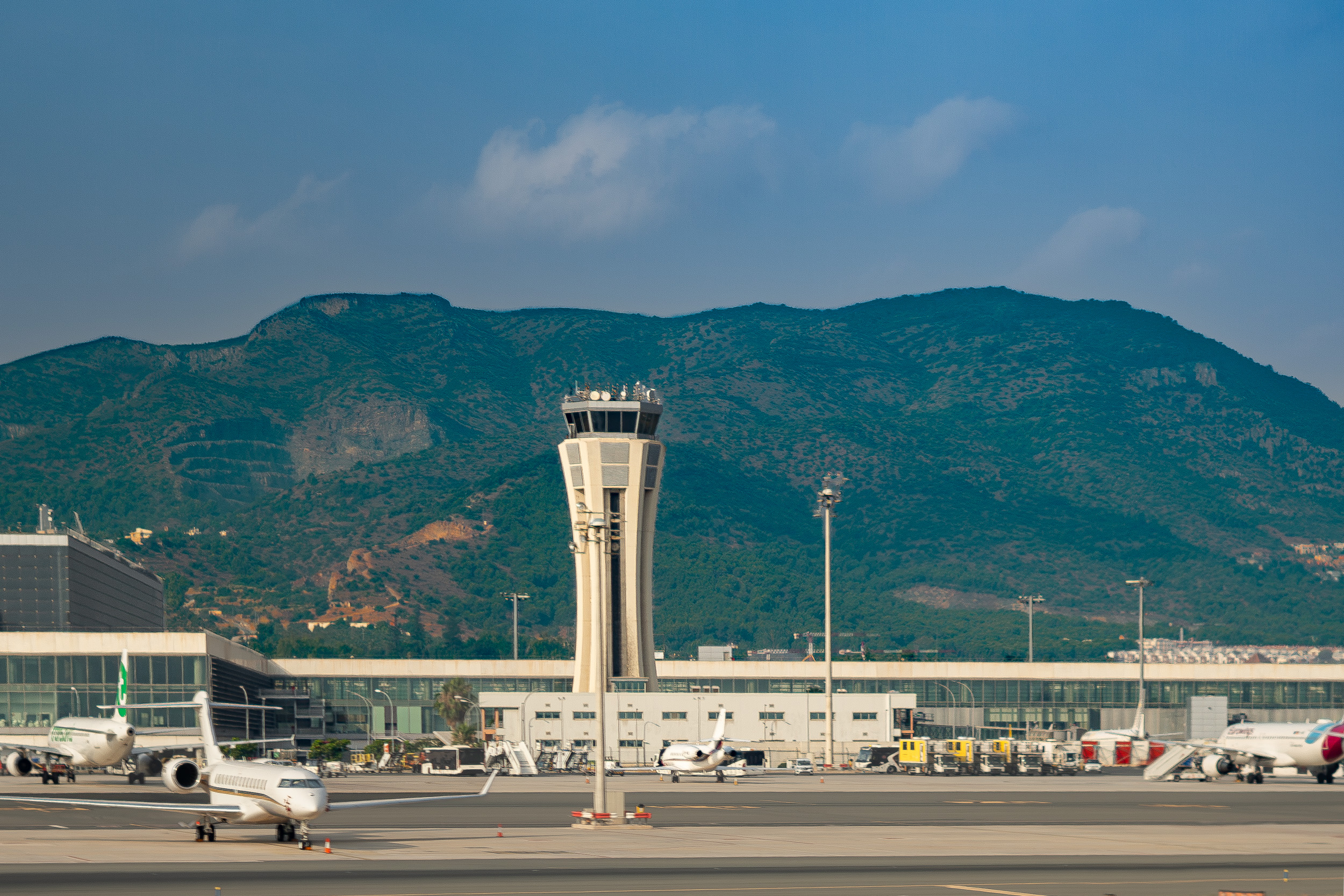
Aerial views of Málaga at the Costa del Sol
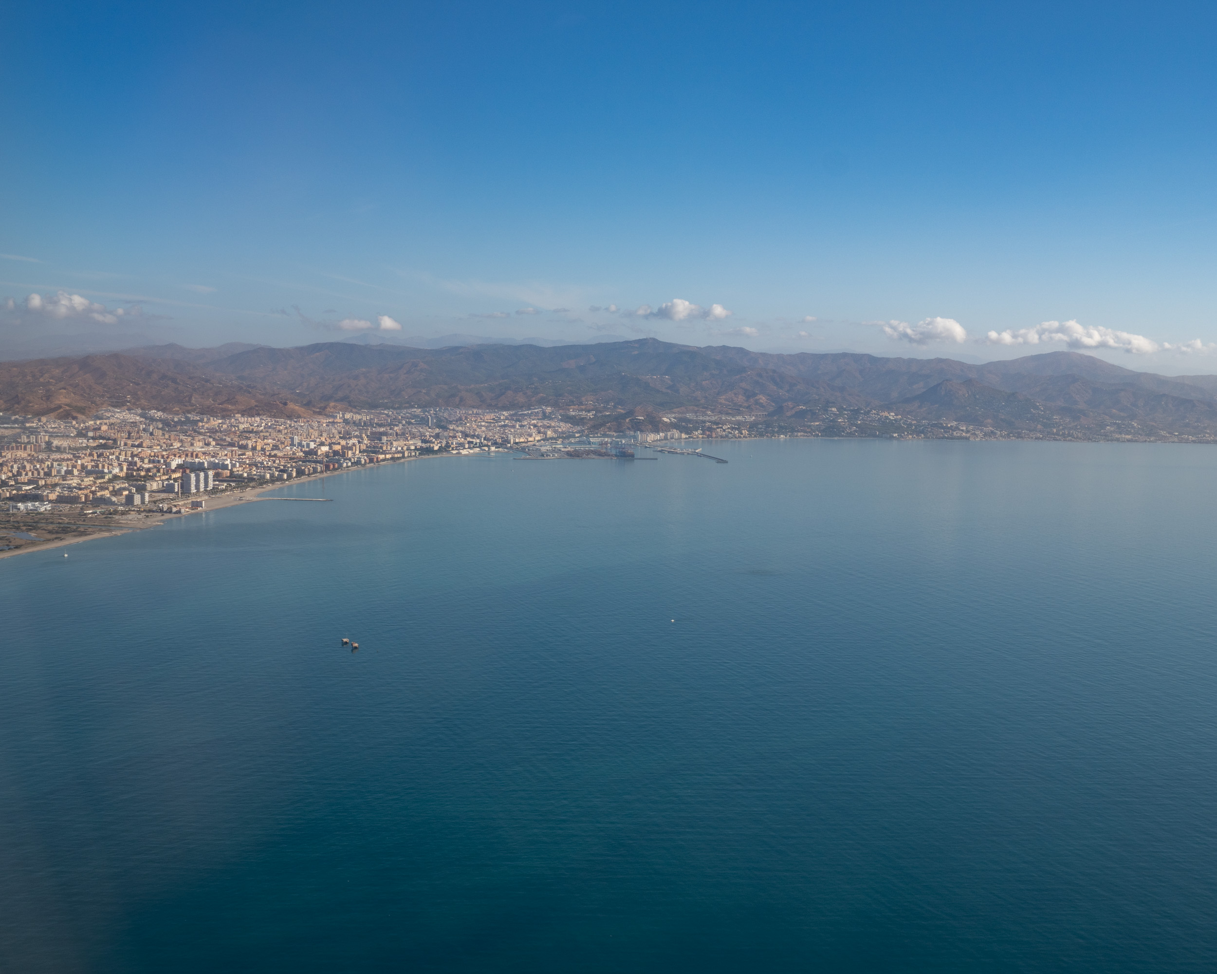
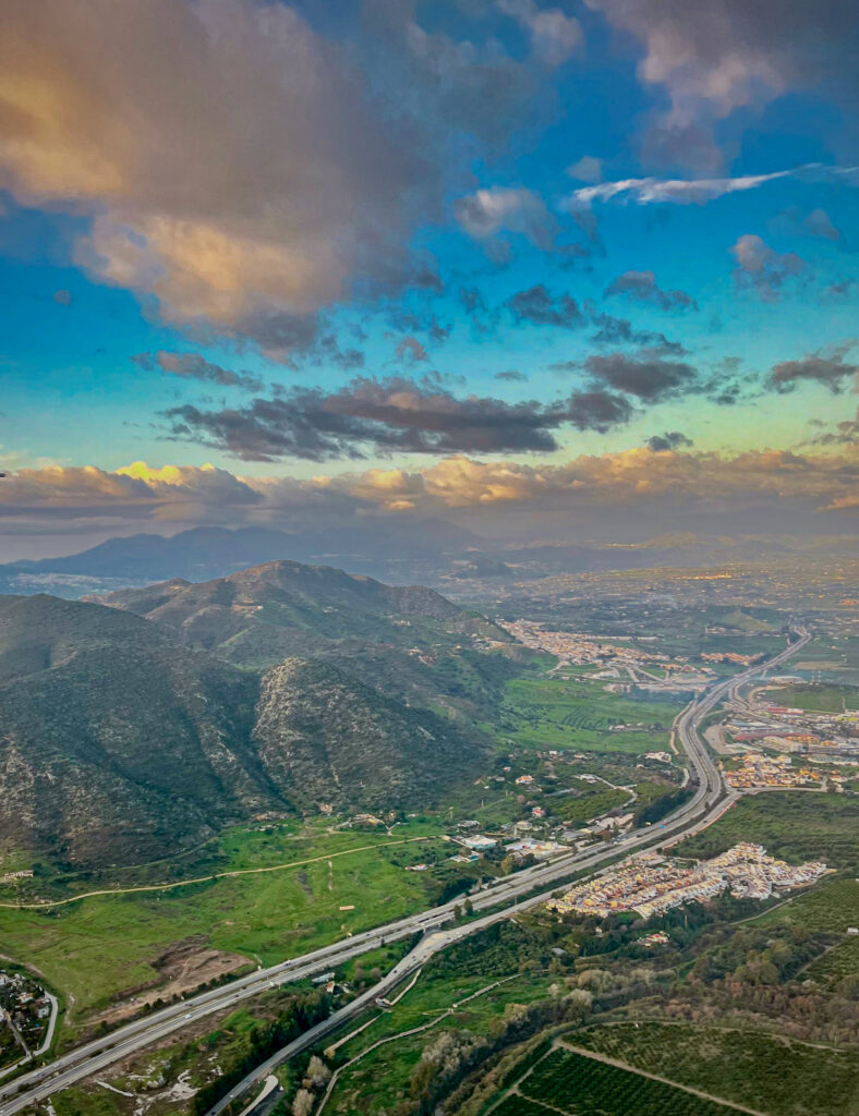
Aerial views of Málaga: the coast, the sea, the beaches and the port. Also visible are the Montes de Málaga Natural Park and the Axarquía landscape, featuring the Sierras de Tejeda y Almijara and the Sierra de Mijas.
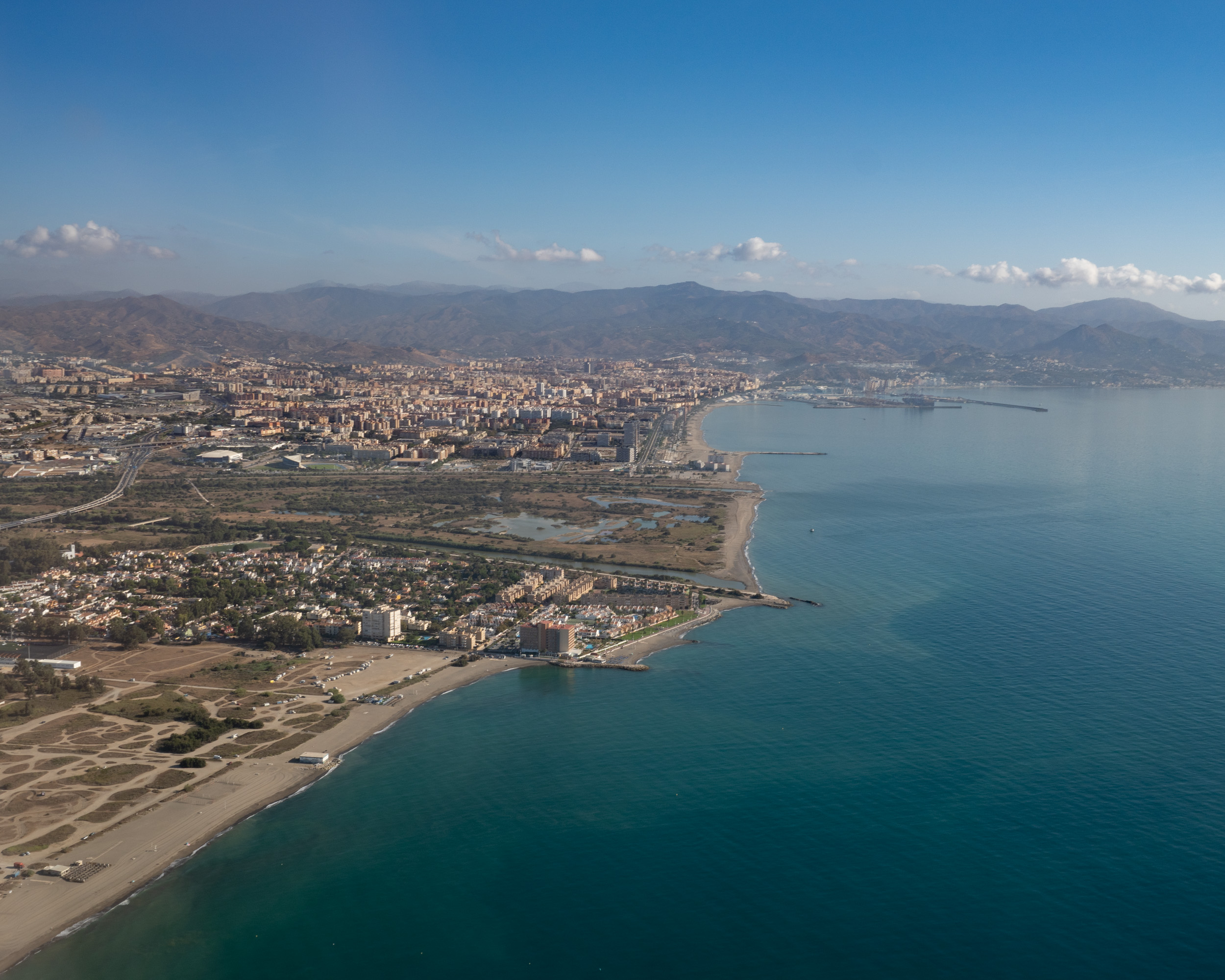
Some of the photos were taken with a smartphone and others with a system camera, through the airplane window during the descent into Málaga-Costa del Sol Airport (or during takeoff).

Aerial photography of the Málaga coast, the sea, and the port
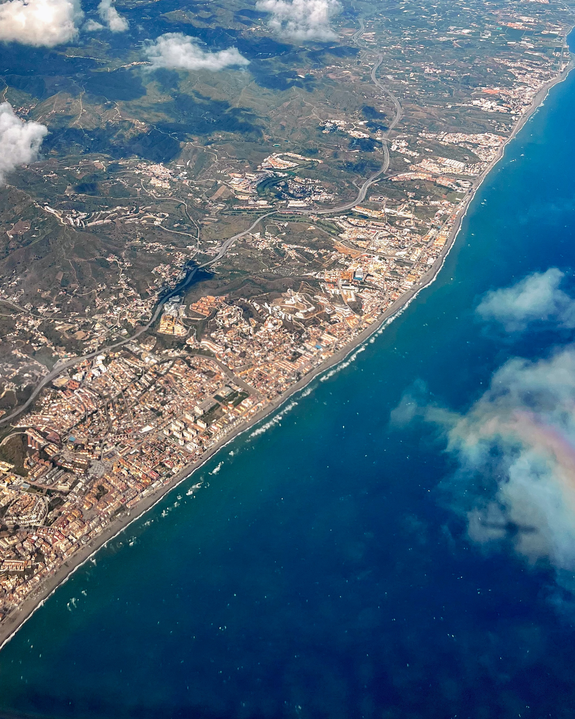
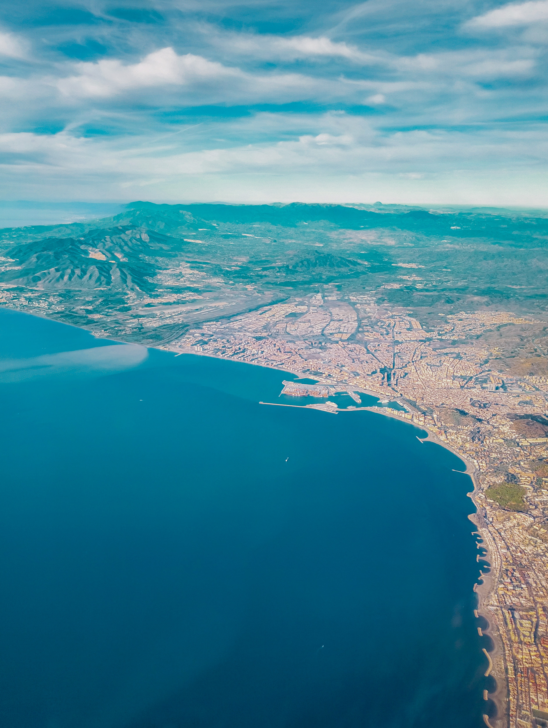
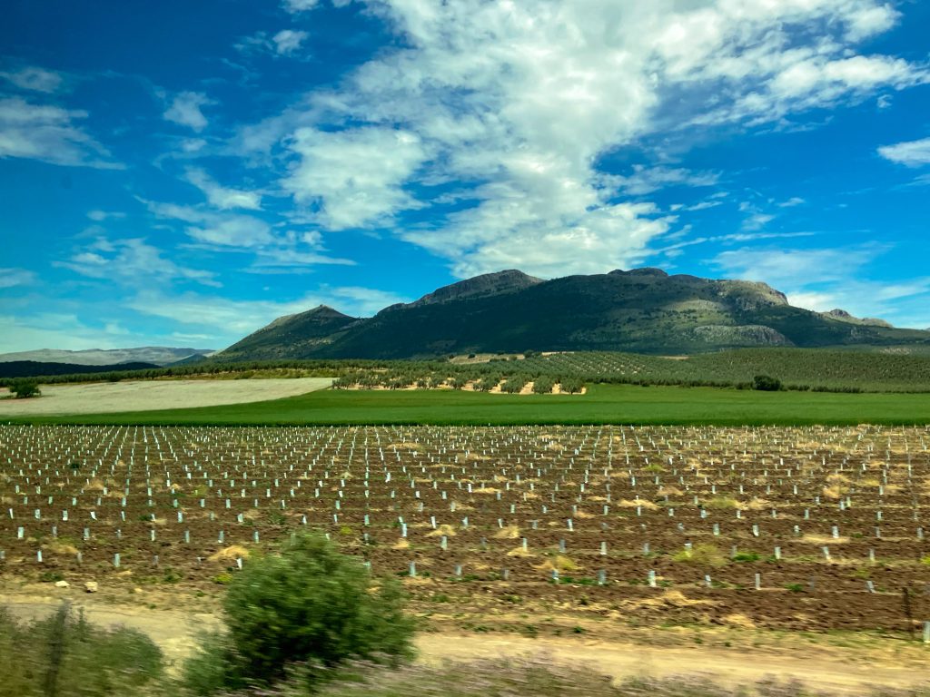
Aerial views of the Sierra de Mijas, Montes de Málaga and Sierras de Tejeda y Almijara
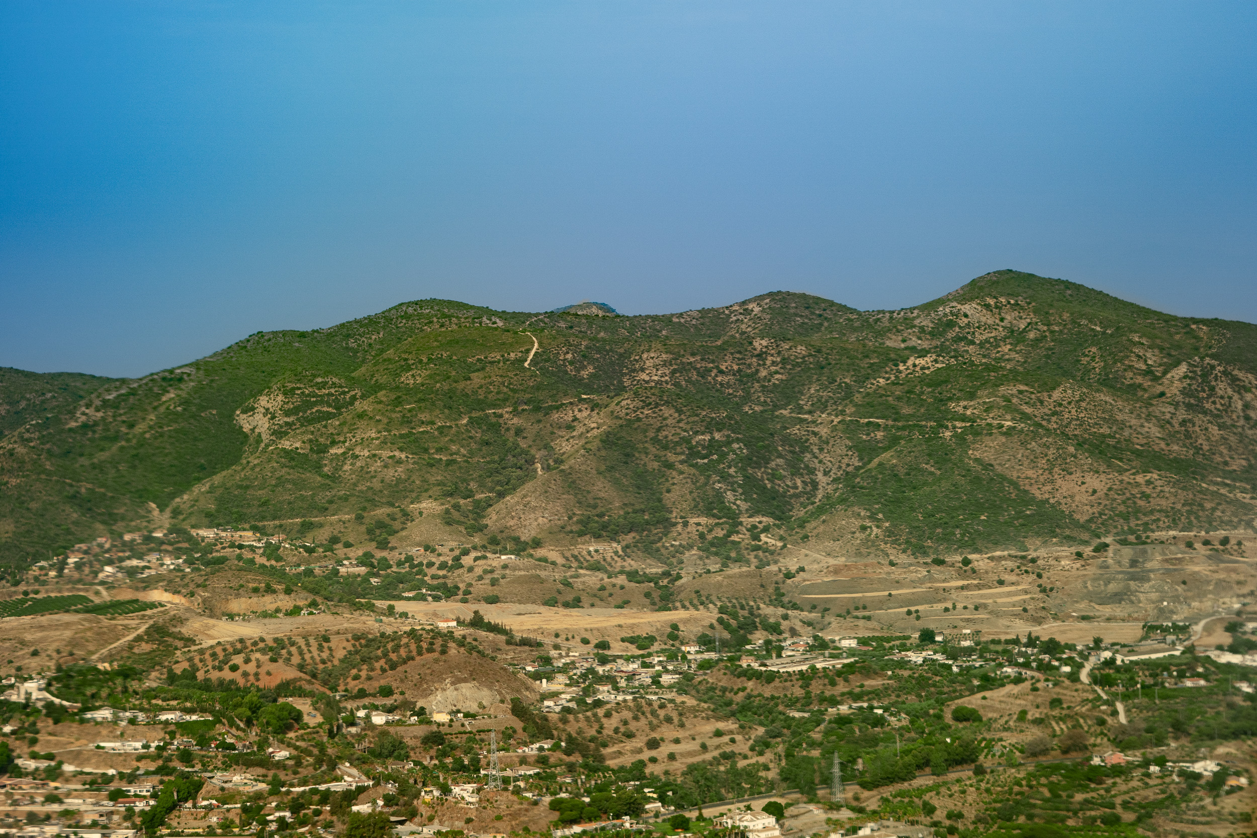
The fields and crops appearing in the foreground belong to the municipality of Alhaurín el Grande.
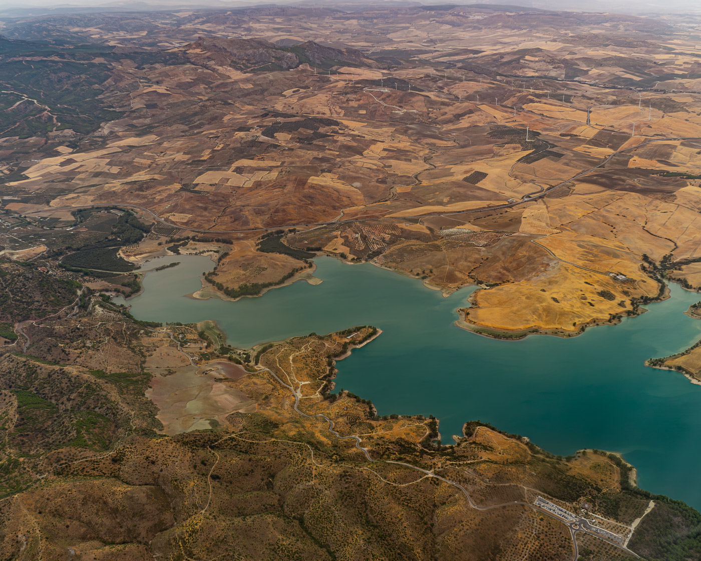
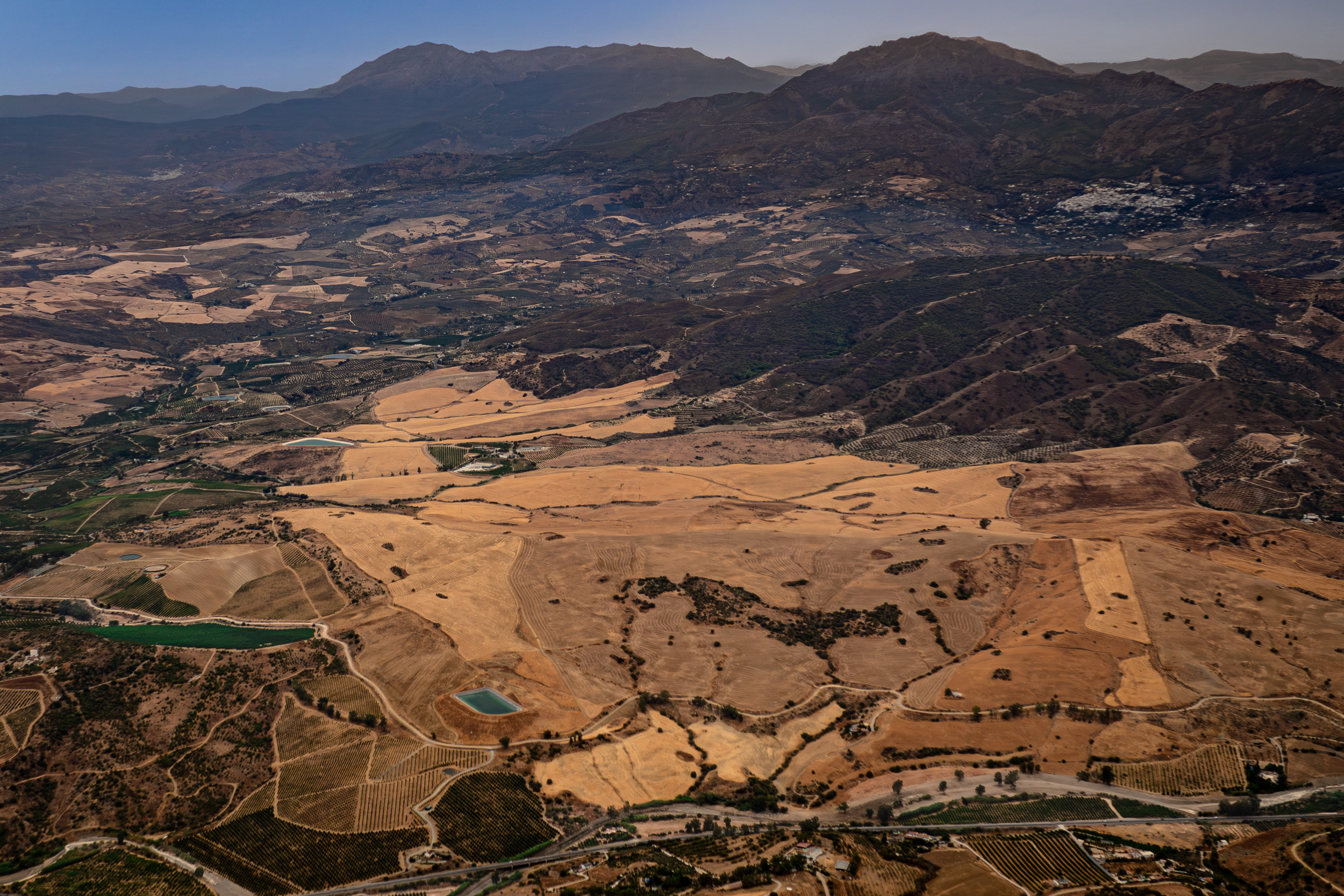



The Sierras de Tejeda, Almijara y Alhama Natural Park is an impressive protected natural area spanning 40,662 hectares. It forms the natural boundary between the provinces of Málaga and Granada.
Aerial views during landing at Málaga – Costa del Sol Airport
Further below, you will find a link to a YouTube video of a complete landing at Málaga Airport, showing the surroundings of Málaga from above. The video begins in the clouds and continues all the way until the aircraft is parked at the gate.